360-degree views
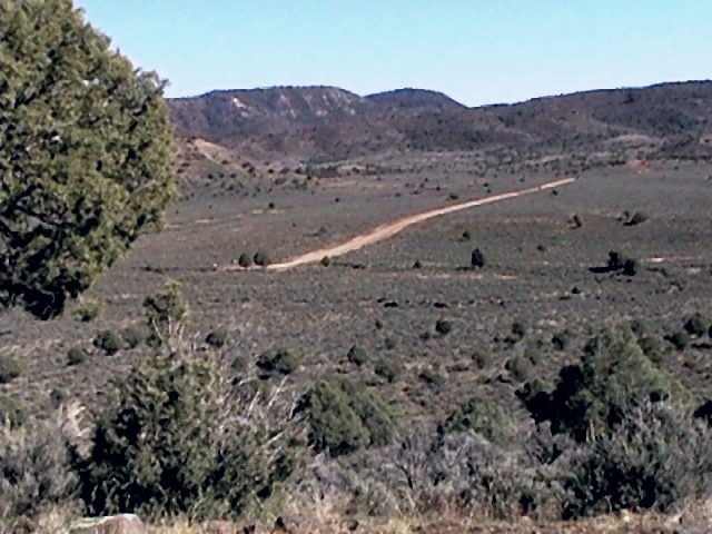
Stunning, unobstructed views of open Colorado piñon-pine landscape in every direction — the kind of horizon that makes a morning coffee feel like a ceremony.
For sale by owner · Pagosa Springs, Colorado
A raw-land homestead parcel in the gated Piñon Hills Ranch community, 13 miles south of Pagosa Springs, with stunning 360-degree views across an open piñon-pine landscape.
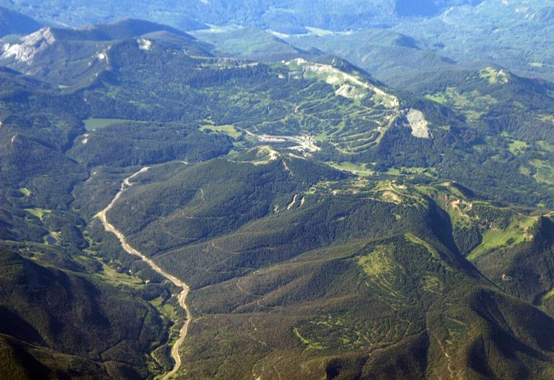
Illustrative aerial rendering, based on photos of the parcel.
The setting
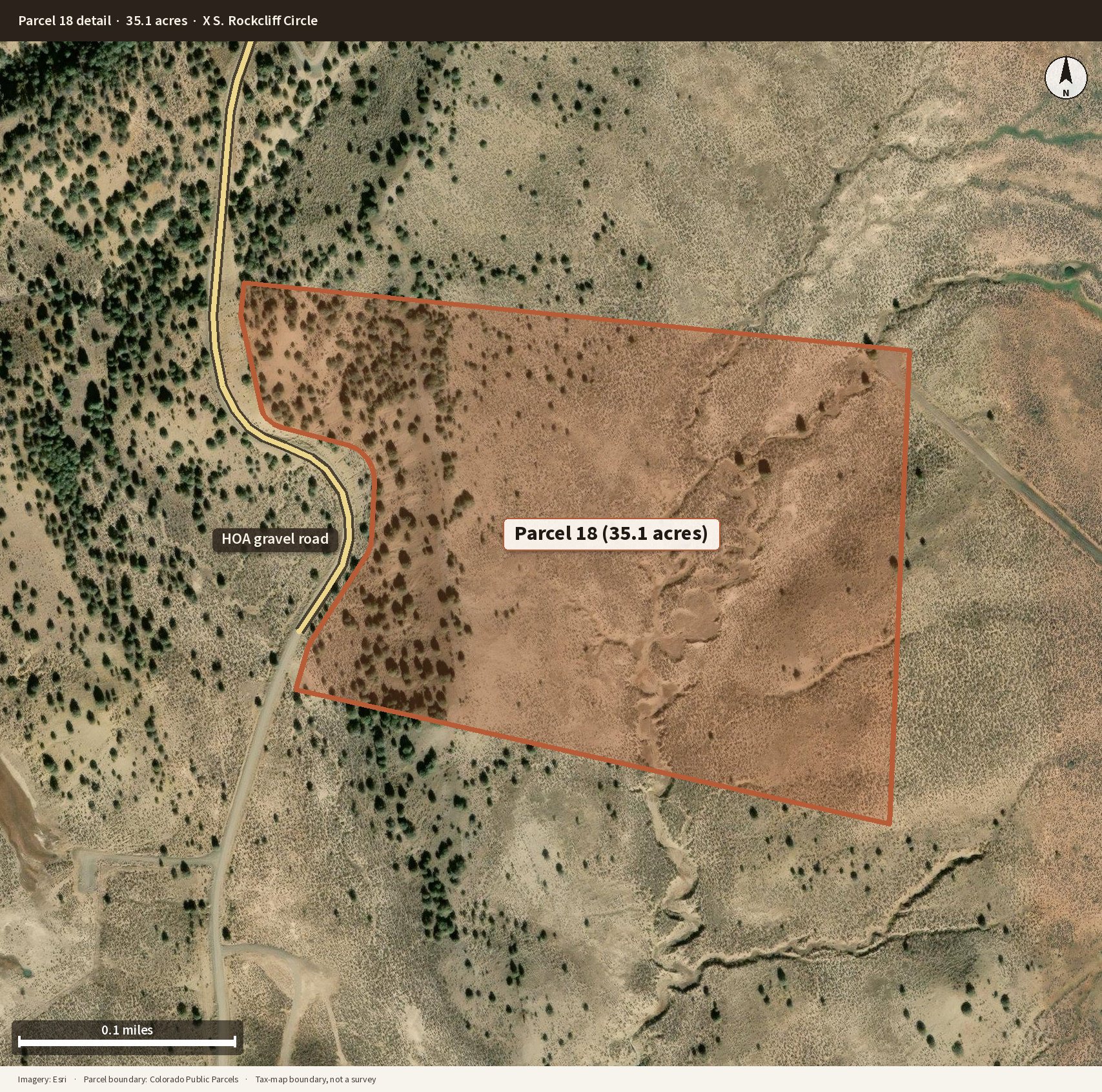
Parcel 18 sits inside a private, gated ranch community of large acreage lots. The land is raw and ready for a thoughtful next chapter — a house, a seasonal camp, or simply room to roam under a wide Southwest sky.
Stunning, unobstructed views of open Colorado piñon-pine landscape in every direction — the kind of horizon that makes a morning coffee feel like a ceremony.
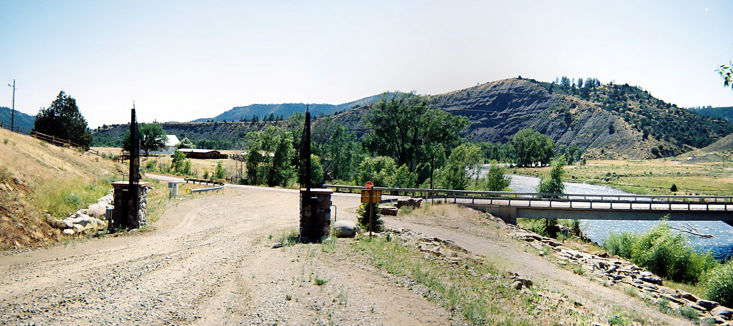
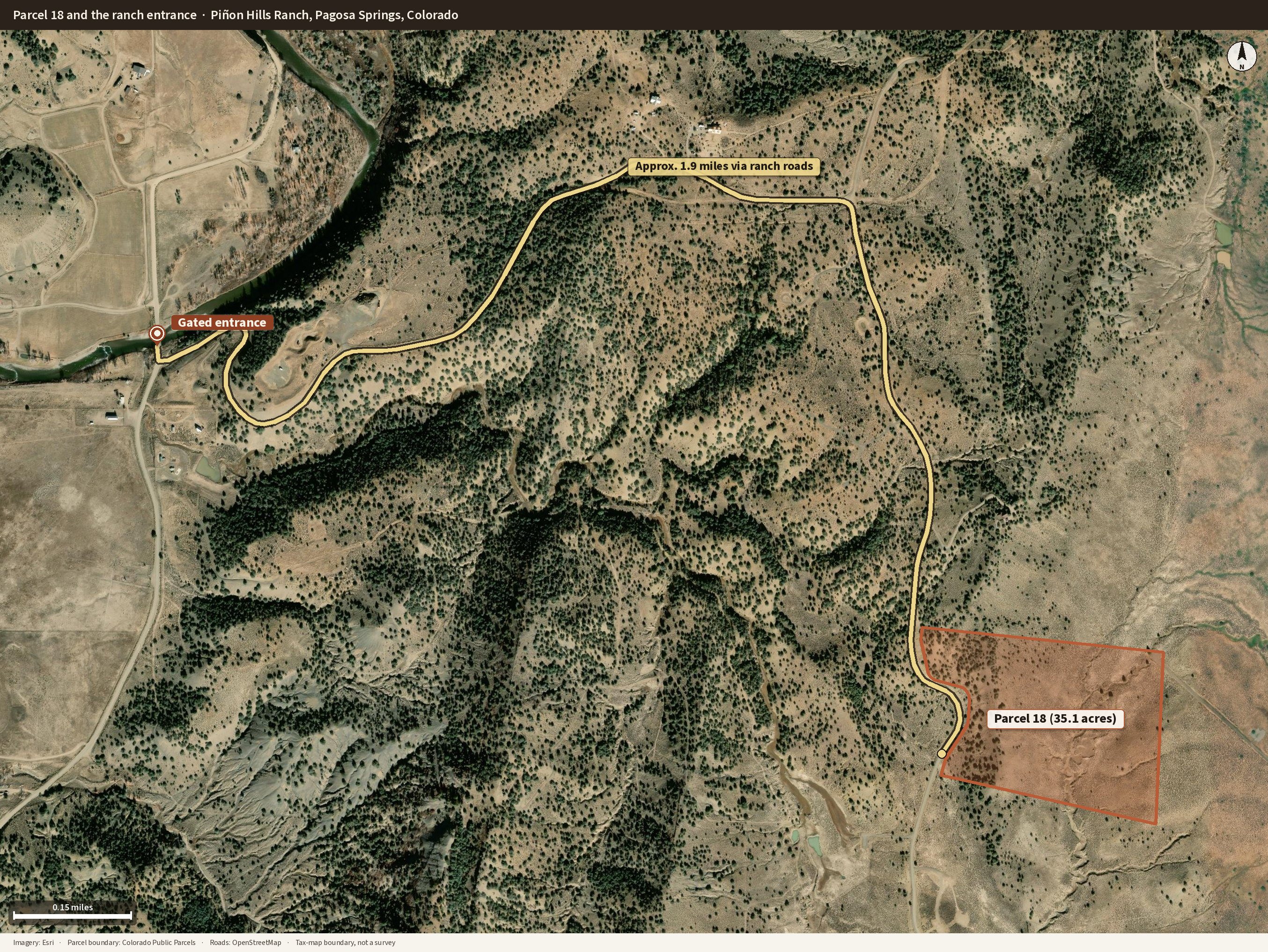
The ranch entrance sits just after the San Juan River crossing on Trujillo Road, 13 miles south of downtown Pagosa Springs. Owners have community access to the river for fishing and picnicking.
Arrival is by an HOA-maintained gravel road through a keypad-entry gate. The property owners association maintains the roads year-round, including snow removal.
The property is agriculturally zoned, with taxes of $12.84 per year. However, an owner may build a house with a fence.
Water is available by drilling a well, or a cistern can be installed for occasional or vacation use.
Wild horses roam the area. Hunting is part of the ranch lifestyle, and cattle should be allowed to graze outside the fence (see the FAQ below).
Photographs
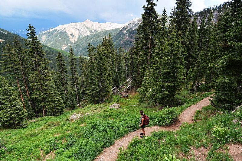
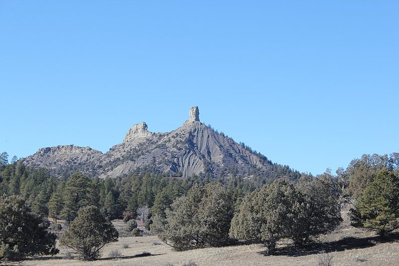
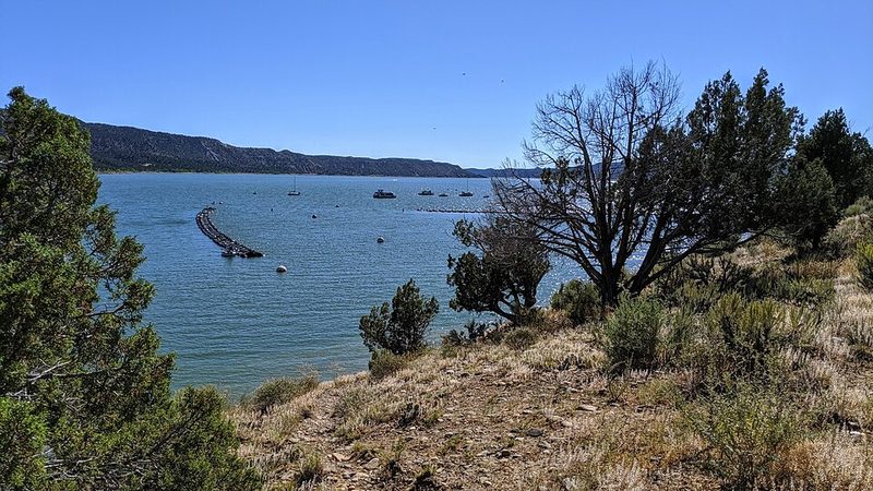
These photographs are of Parcel 18 and of the country you look out on from it. Captions say which is which. Click any image to enlarge.
The ranch gate beside the San Juan River, and the gravel road in.
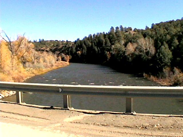
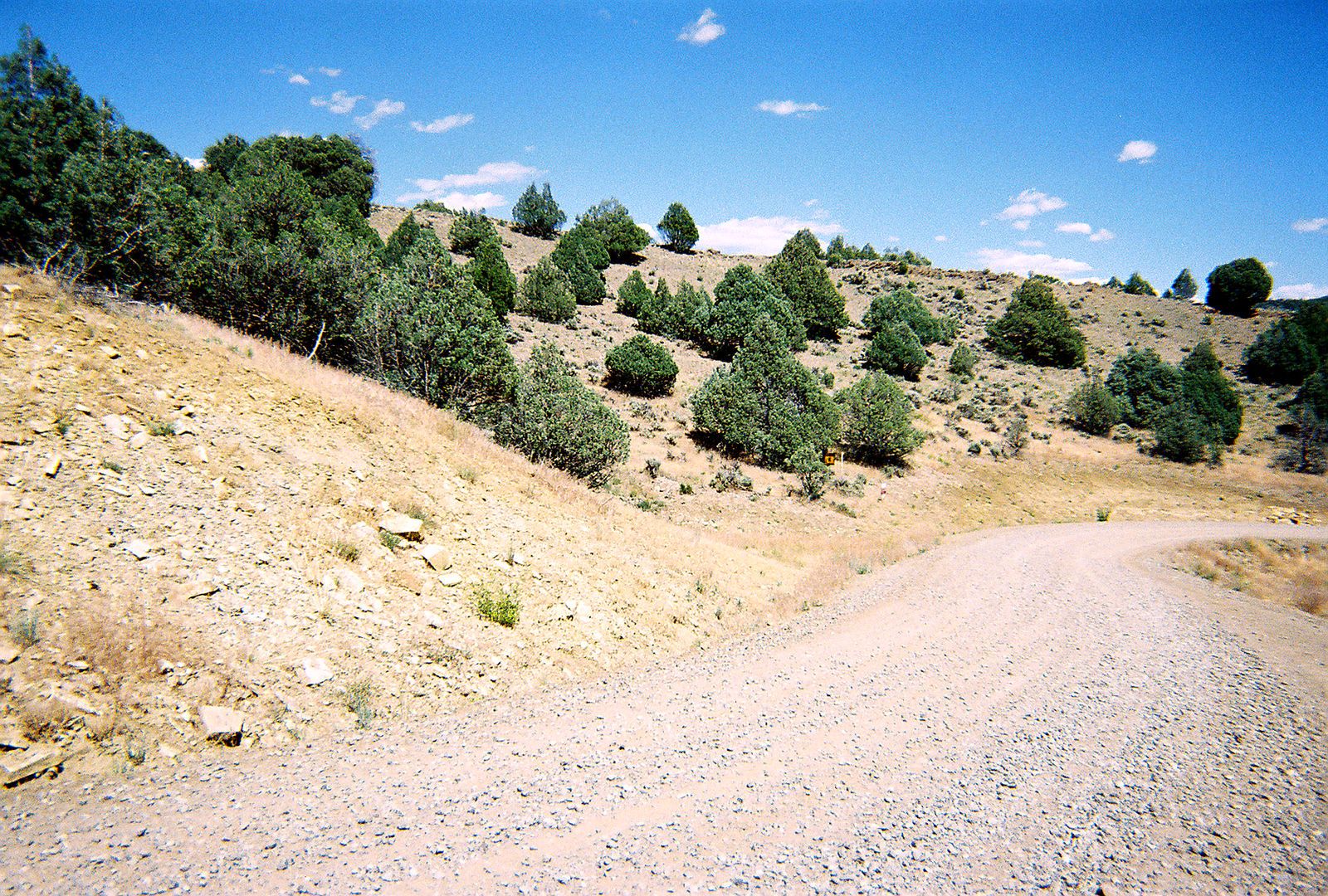
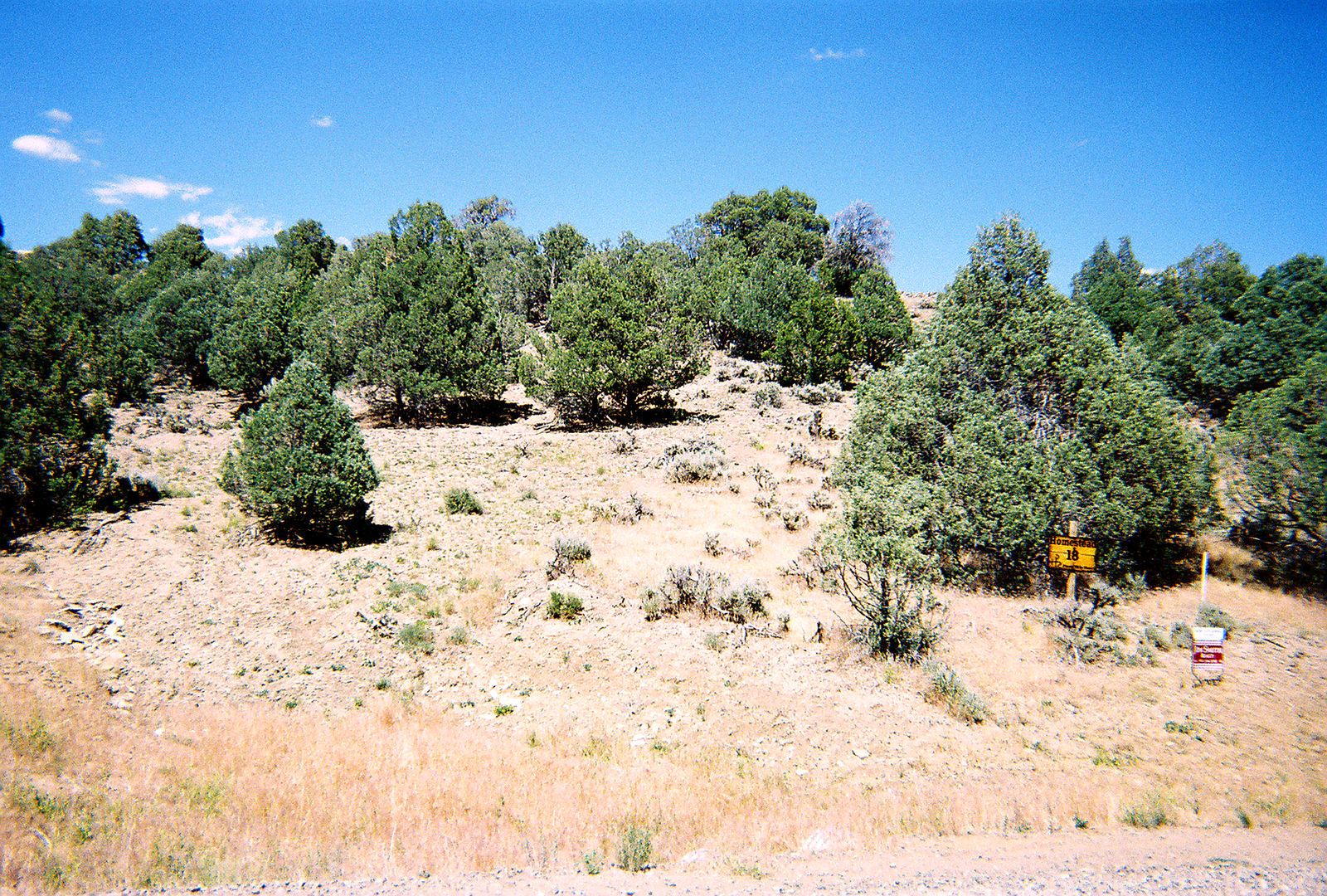
Slopes, trees, rocks, and the lot 18 sign on the property itself.
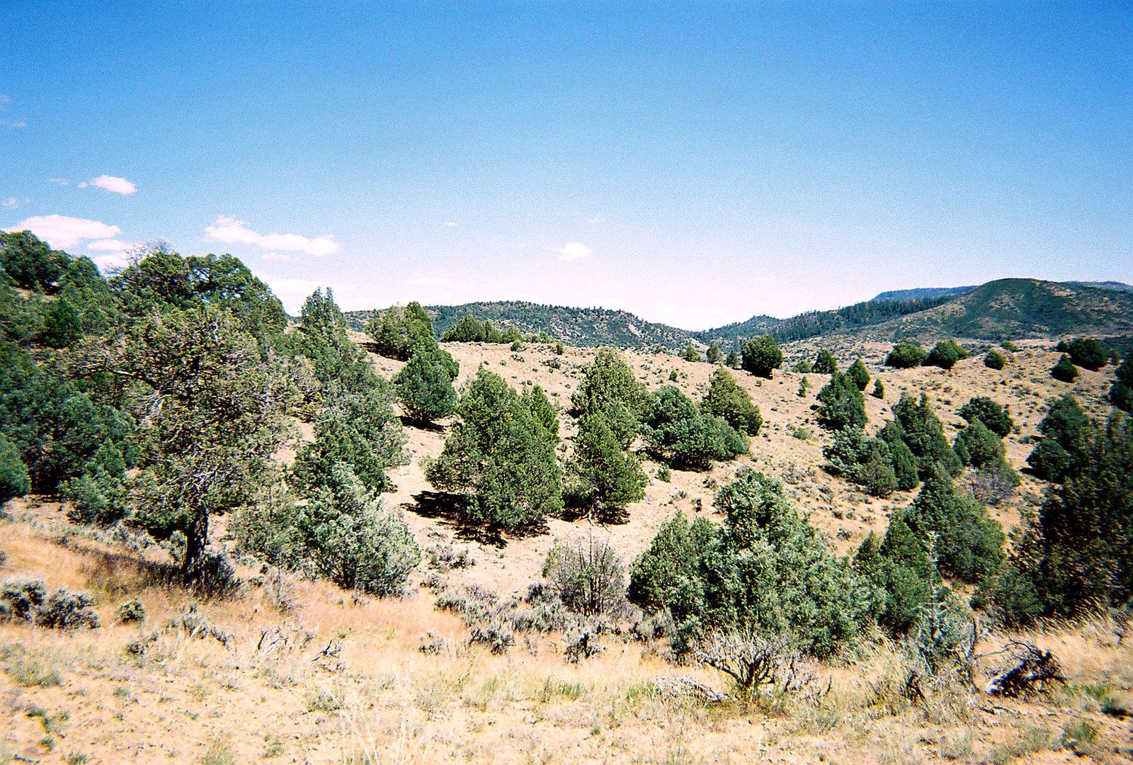
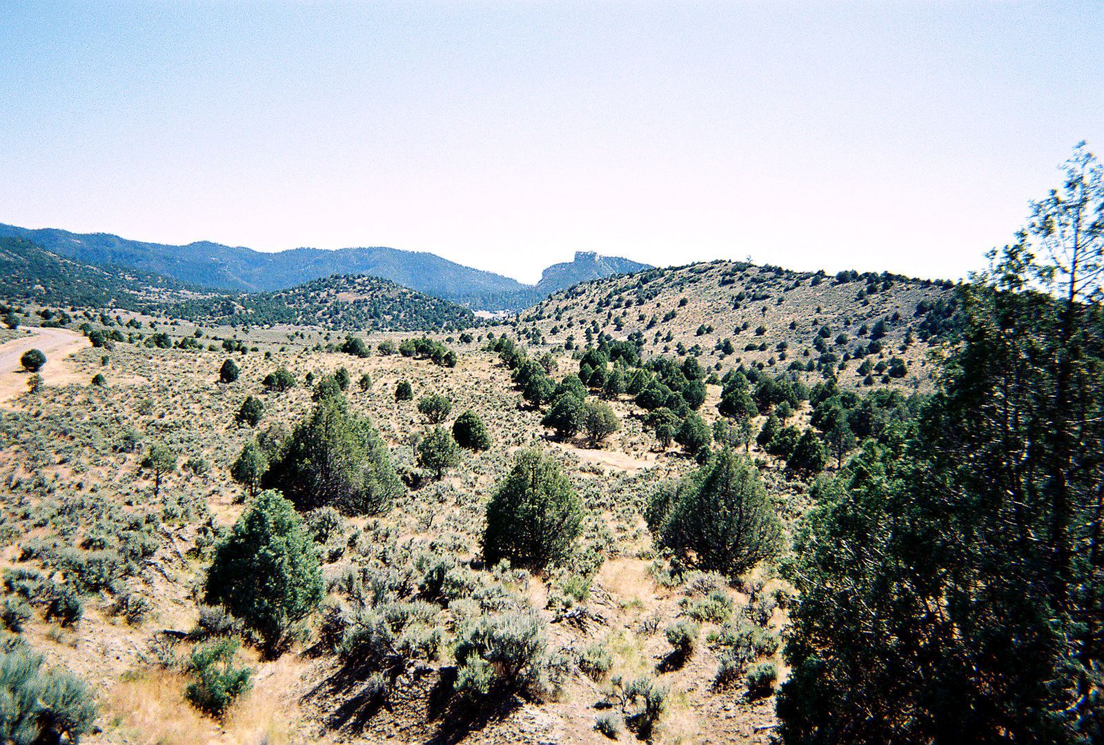
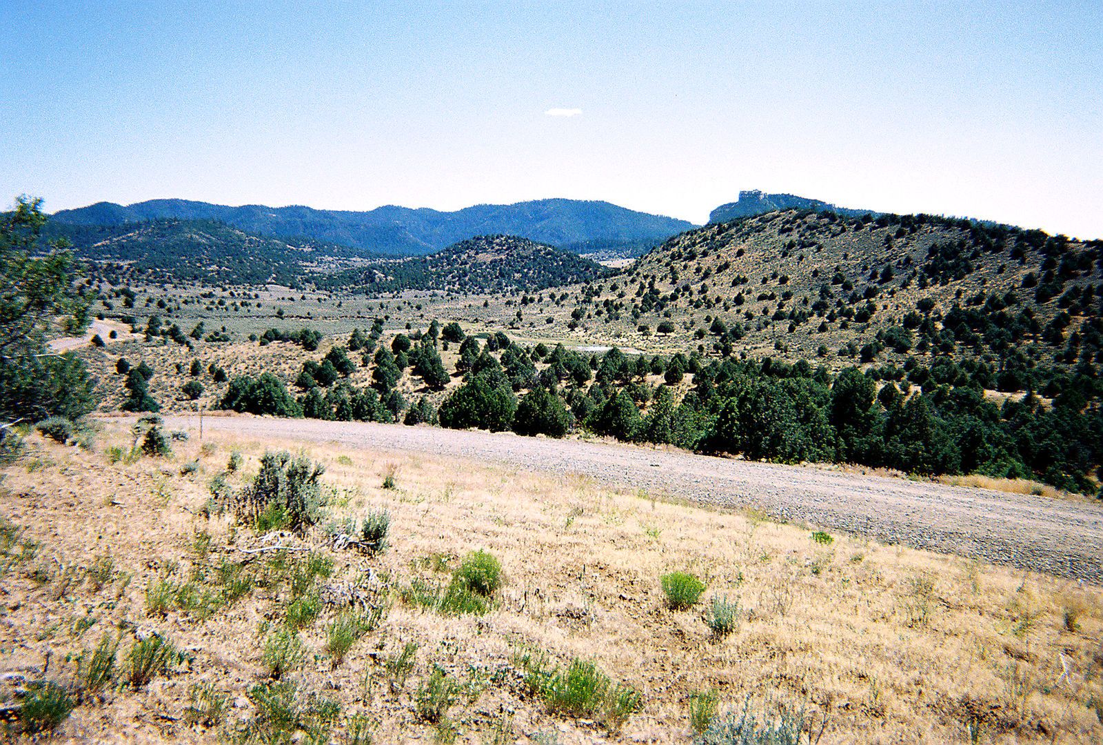
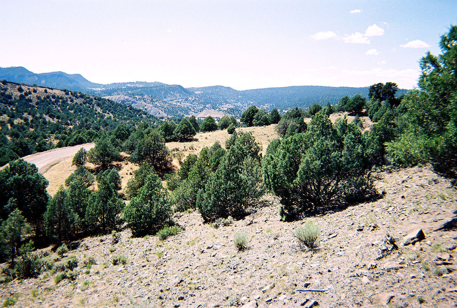
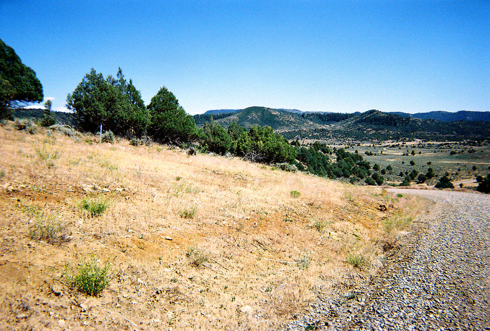
Looking out from the property toward the mountains, the valley, and the road below.
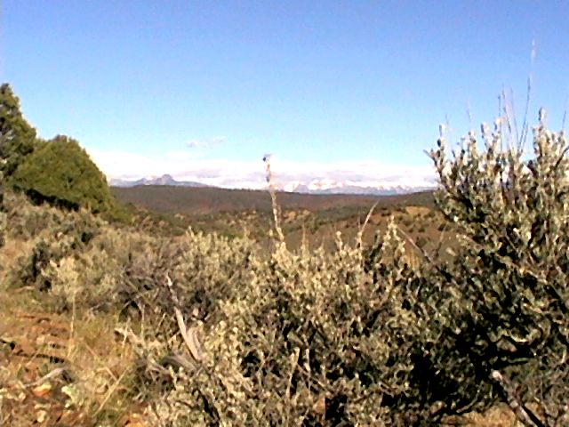
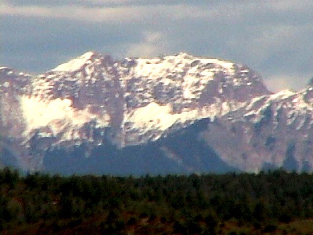
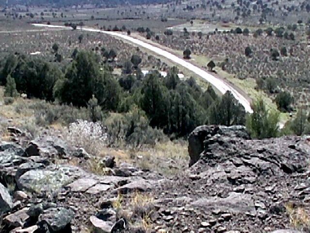
The facts
Acreage, access, utilities, and the numbers that come with the land.
Pagosa Country
Piñon Hills Ranch is 13 miles south of downtown Pagosa Springs on Trujillo Road (County Road 500). Just after you cross the San Juan River, the ranch gate is on the left, near mile marker 13½.
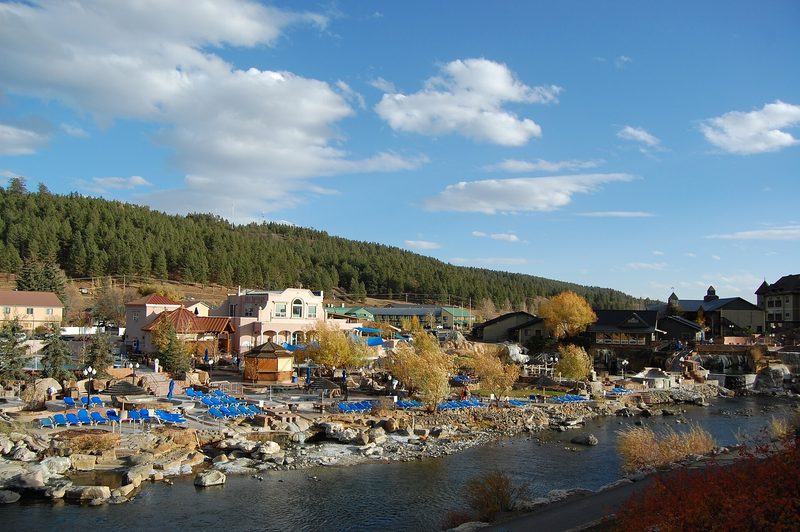
The river at the entrance is the San Juan River — a clear, fast-flowing mountain river. The ranch has community access to the river, including a picnic and fishing area.
On the record
Parcel 18, Pinon Hills Ranch Phase One, Second Re-Plat of Amendment No. 1, according to the amended plat thereof filed February 11, 2005, as Reception No. 20501257, in the office of the Clerk and Recorder, Archuleta County, Colorado.
The “X” in the street address means a street number has not yet been assigned.
Questions
The San Juan River. Travel south from Pagosa Springs on Trujillo Road 13 miles; as soon as you cross the river, the Piñon Hills gate is on the left (County Road 500, mile marker 13½). The ranch has community access to the river, including a picnic and fishing area.
Electric service is at the site, with underground utilities in the community. Starlink internet is available; Visionary Broadband, Zito Media, and CenturyLink also serve the Pagosa Springs area. For water, drill a well or install a cistern for occasional or vacation use.
An owner may build a house and even a fence. However, to keep the very low property tax associated with agricultural zoning, the fenced area should not exceed five acres and cattle should be allowed to graze outside the fence. (Seeing a cow is unusual, but there is evidence they exist.)
The asking price is $165,000. Recent 35-acre listings in the same ranch include $155,000 (Lot 16, Rockcliff Circle), $159,000 (2241 S. Rockcliff Circle), $169,500 (Parcels 13, 27, and 30), and $188,000 (another Rockcliff Circle parcel). A build-ready 35-acre parcel at 1208 S. Rockcliff Circle, already improved with a well, septic, and power to the site, was listed at $225,000. Parcel 22 on S. Rockcliff Circle sold for $169,500.
This is a for-sale-by-owner offering. The ranch is gated, so access is arranged in advance. Call (562) 498-1258 or email RickLambert4043@gmail.com to ask about the land or schedule a showing.
Next step
Call, email, or send a message to ask about Parcel 18 or arrange a showing. The ranch is gated, so visits are by appointment.